Spatial Pattern Mapping with Street View Imagery
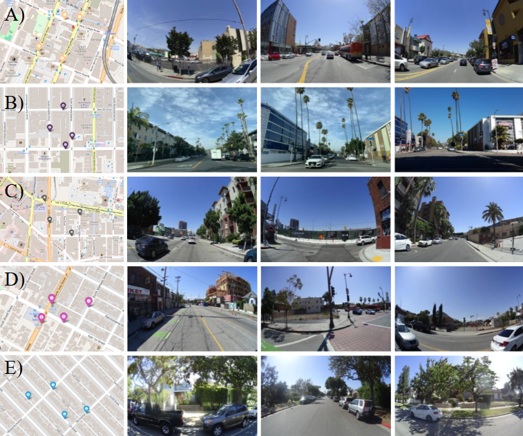
Mapping social inequities in neighborhood perceptions using street view imagery and deeplearning.
title: Spatial Pattern Mapping of Human Perception using Street View Imagery
description: Mapping social inequities in neighborhood perceptions using street view imagery and deeplearning.
tool: Pytorch(PSPNet, MIT Place Pulse), Google Street View API
Siqin Wang, Jooyoung Yoo, Wenhui Cai, Fan Yang, Xiao Huang, Qian Chayn Sun, Shaokun Lyu (2024). “Spatial Pattern Mapping of Human Perception using Street View Imagery in Los Angeles,” [Sustainable Cities and Society-Under Review]
This paper is currently under review. More details will be updated soon!
